
Broomfield Neighbors Around One Address
A block lookup has a smaller scope than a street directory. It begins with one selected parcel, then identifies the parcels that touch, sit behind, cross an alley, share a common tract, or fall inside a chosen map buffer. Each source adds a different fact. GIS finds the geometry. The assessor names the public parcel owner and mailing field. The recorder explains the instrument and legal description. Civic sources describe programs or public meetings.
| Source | What it shows about a block | Access |
|---|---|---|
| Broomfield GIS parcel viewer | Adjacent geometry, address, selected buffer, boundary, plan, zoning, flood, and district context | Public map; approximate lines |
| Broomfield Assessor | Owner, mailing, situs, parcel, legal, use, value, transfer context | Account-by-account public search |
| Recording Division | Deeds, plats, covenants, easements, common-area and association dedication | Free index from 11/15/2001; older counties earlier |
| DORA HOA Center | Registered community or association contact and records guidance | State lookup and request route |
| Election and GIS wards | Ward, precinct, dated count, and political geography | Public map and data; no block roster |
| Neighborhood Watch and boards | Civic contact, meeting, agenda, and program context | Official pages; no member list |
| Criss-cross directories | Historical street occupants or subscribers | Library and digital collections by year |
A public parcel owner is not automatically a household neighbor. A map adjacency is not a title opinion. A civic program is not a membership directory. The Broomfield neighbors workflow keeps each claim tied to the source that can support it.
Map Broomfield Neighbor Parcels in GIS
Search the complete address in the Broomfield parcel viewer, accept the suggested address, and click the selected parcel. Turn on parcel, address-notification, boundary, zoning, planning, flood, ward, precinct, and neighborhood layers as needed. Pan along the frontage and click the surrounding geometry. The map's assessor link is the handoff to an account.
Label the relationship before collecting names. Side-by-side, rear, across an alley or street, common tract, open-space parcel, utility tract, and map-only intersection are different forms of adjacency. A block can contain a public parcel or association-maintained common area that has no ordinary household owner.
The map lines are approximate and are not a survey. GIS is a discovery tool for a Broomfield neighbors search, while the assessor and recorder provide the record evidence.
Broomfield Neighbor Buffer and CSV
The Planning Research Map adds a selected-parcel buffer workflow. A green parcel-boundary selection can surround the starting parcel, a distance can be changed, selected addresses and parcels can be reviewed, and the set can be exported as a CSV. A single-property point selection is safer for one neighbor. Shape or intersection tools fit a block with an irregular edge.
Use the flow as a record handoff: address to parcel, parcel to buffer, buffer to address list, address list to assessor, assessor legal description to recorder. The CSV is an inventory of map results, not a list of residents. Open each parcel one at a time and preserve the account and record date.
- Search and select the starting address.
- Choose point, green buffer, or shape selection for the desired relationship.
- Review the returned parcel and address list, then export only the selected set.
- Open each parcel in the assessor and separate owner mailing from situs.
- Search plats, covenants, easements, or deeds when a common tract or association appears.
Note: A buffer distance is a map choice, not a legal definition of a neighborhood or a proof of personal contact.
Verify Each Broomfield Neighbor Parcel
Open the assessor account for each adjacent parcel and copy account or parcel number, owner, mailing address, every situs line, subdivision, lot, block, tract, unit, property use, tax area, and public transfer indicators. A common-area or open-space tract may be the neighbor on the map. A solar, mobile, or personal-property account may share a situs with a main parcel.
Then use the legal description in the recorder. Plats can show lot, block, right-of-way, dedication, and common-area ownership. Covenants and easements can explain an association or shared feature even when no public membership list exists. The recorder's 2001 cutoff means older association or deed records may be in Adams, Boulder, Jefferson, or Weld.
The Broomfield assessor and Recording Division are the two record custodians for this parcel-to-instrument check.
Broomfield Neighbor Voter Limits
Colorado voter verification requires first name, last name, ZIP, full birthday, and CAPTCHA. It tests one person. It does not offer a verified public street or block browse. Broomfield election files and the statewide data-request form provide broader dated routes, but public fields, confidential addresses, protected voters, and purpose restrictions still apply.
Ward and precinct layers can frame a block in political geography. Counts and election history are not a list of households. Inactive status is not proof that someone left. A missing registration is not proof that someone is absent. Use the election office for procedural questions and do not attempt to bypass the CAPTCHA or confidentiality rules.
For the current parcel question, assessor, GIS, and recorder records are the proper block sources. For a named person, use a separate resident lookup with a dated second-source check.
Broomfield Neighbor HOA History
Broomfield Heights is a useful local example of why a neighborhood label does not automatically mean a public association roster. The 1955 protective-covenant and neighborhood planning material says residents chose not to form a formal HOA at that time. The plan describes a strong city connection and liaison rather than regular meetings or annual dues.
A map name can therefore identify a place and planning history while saying nothing about current membership. Search the plat, covenant, city planning route, and public civic contact when a block question needs neighborhood context. Do not infer a private roster from a neighborhood map.
This distinction keeps a Broomfield neighbors search grounded in public evidence and avoids treating community identity as a list of individual households.
| Community source | What it can provide | Contact or access limit |
|---|---|---|
| Broomfield Heights Neighborhood | 1955 protective-covenant and planning history; the plan records no formal HOA at that time. | Use the city liaison or civic route; no public membership roster was located. |
| Aspen Creek Filing No. 7 HOA | Recorded plat evidence for common tracts and park ownership or maintenance. | The plat is not a current manager or member directory. |
| Colorado HOA Information and Resource Center | Licensee Lookup by business name or DBA, ORN and contact guidance, and CCIOA information. | Contact data is self-reported and may be outdated; it is not a resident list. |
Broomfield Neighbor HOA Common Tracts
A recorded final plat for Aspen Creek Filing No. 7 says certain tracts will be conveyed to the homeowner's association for ownership and maintenance, including a park tract. That is a parcel and plat fact. It does not supply a current manager, member directory, or list of who lives nearby.
The Colorado HOA Information and Resource Center is the statewide bridge for common-interest communities. Its Licensee Lookup can help identify a registered association or management contact by business name or DBA. The Center cautions that self-reported contact information may not be current and that association records follow Colorado common-interest-community rules.
Colorado's HOA Information and Resource Center is the proper route for registration, ORN, complaint, and contact guidance.
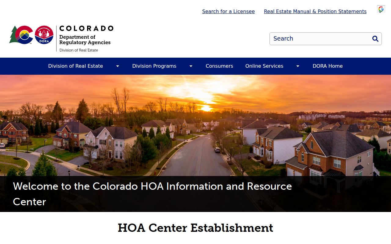
The HOA image shows a state registration and information route, not a public Broomfield resident roster.
Broomfield Neighbor Civic Boards
Broomfield Neighborhood Watch offers a civic safety and contact route at block level. Boards and commissions, council meetings, planning groups, and the Neighborhood Board of Adjustment can create public agendas, minutes, and participation records. Those records show a public civic event, not a complete list of people on a block.
The city's 2026 oral-history project gathers ward stories for America 250 and Colorado 150. It may become a new community-memory source, but interview permissions, publication, and name access must be confirmed. Civic groups, congregations, clubs, and private neighborhood groups may keep rosters that were not located as public sources.
Broomfield Neighborhood Watch and the boards and commissions route supply public contact and meeting context.
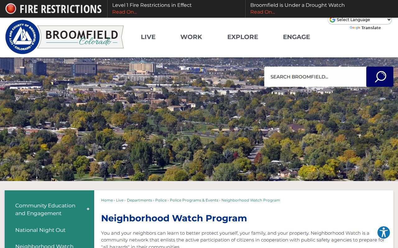
The Neighborhood Watch image connects a block lookup with a civic program while preserving the difference between contact and membership.
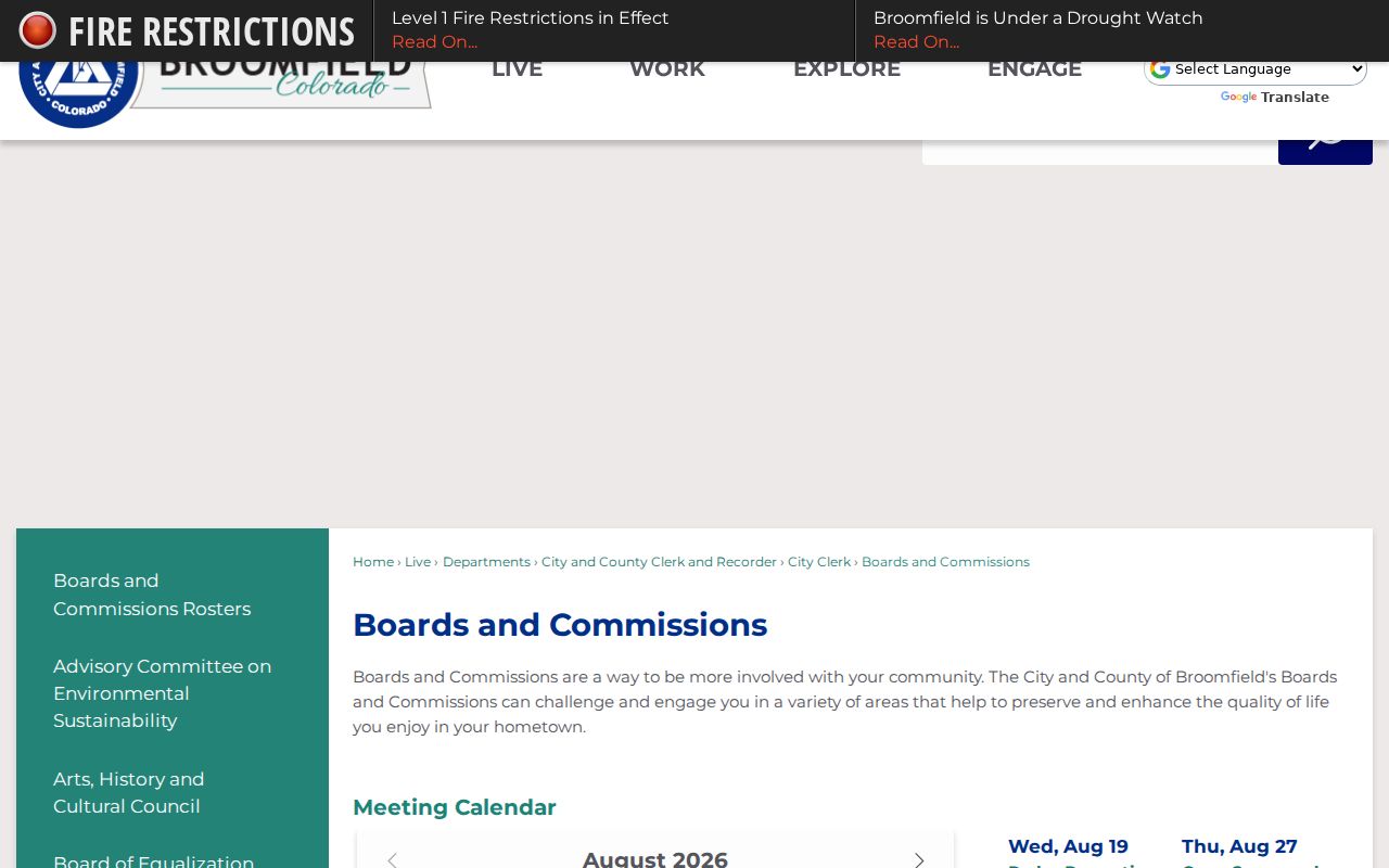
Boards and commissions can supply public meeting evidence for the community layer, but not a household directory.
Broomfield Neighbor Map Labels and Wards
Broomfield neighborhood labels include Original Broomfield, Broomfield Heights, Depot Hill, Greenway Park, Westlake, Broadlands, Anthem Ranch, Arista, North Park, Northmoor Estates, McKay Landing and Shores, Red Leaf, Palisade Park, Wildgrass, Aspen Creek, and many others. These names provide planning and place context. They are not proof of an association, a boundary for a block, or a public membership list.
Wards and precincts describe election geography. ZIP codes describe postal geography. GIS boundaries describe map and parcel context. The consolidated city and county boundary has its own 2001 history. A neighbor may be across a planning, postal, or ward line while still sitting beside the selected parcel.
Use a map label to find the right plan, plat, or civic contact. Use the assessor and recorder for a parcel claim. Use the Broomfield street directory when the question expands from one block to a whole named street.
Privacy Limits on Broomfield Neighbors
A Broomfield neighbors search can show public parcels and recorded instruments, but it cannot show every household member, guest, unlisted person, utility customer, delivery record, or motor-vehicle address. Address Confidentiality Program participants, protected voters, sealed or juvenile court parties, restricted vital records, and sensitive police information may be hidden or redacted.
Official rolls and commercial people-search tools are different categories. Official custodians publish a defined record with dates and access rules. Commercial tools may combine stale or conflated public data and do not replace a custodian, a parcel check, or a jurisdiction check. If a public record is wrong, contact the office that created it.
| Source category | What it can show | What it cannot prove |
|---|---|---|
| Official parcel and recorded records | Dated owner, situs, legal description, plat, covenant, or easement clues. | Every household member, guest, or current occupant. |
| Civic and HOA information | Program contacts, public meetings, common tracts, or registration guidance. | A private membership roster or personal contact relationship. |
| Commercial neighbor tools | Possible combined public-data leads with unknown freshness. | A custodian-backed fact, complete block list, or reason to bypass confidentiality rules. |
Lawful personal use. Use block research for civic awareness, family history, reconnecting, and personal safety awareness. Do not use it to watch, stalk, harass, intimidate, or harm a person.
When a record should not surface, a missing result is not an invitation to find a workaround. Respect the confidentiality program, court rule, vital-record restriction, and voter access limit.