
Finding Broomfield Streets by Address
An address search should preserve the exact street spelling, designation, direction, unit, ZIP, and alternate situs lines. Broomfield EagleWeb can search a whole street when the house number is left blank, or narrow a result with the house number and street controls. The same street may return a municipal account, a condominium unit, a commercial parcel, or an ancillary solar or mobile-property account.
The street directory workflow moves from the broad map to the specific record. Save the account, parcel, legal description, result count, and date before opening a deed or voter source. A parcel owner is a record fact. A household member, visitor, or current occupant may not appear in that record.
- Run the house number, street name, designation, direction, unit, and ZIP through the Broomfield EagleWeb Assessor.
- Open each account and copy the parcel, owner, mailing address, situs lines, subdivision, lot, block, use, and transfer history.
- Use the Broomfield parcel viewer to click the parcel, inspect adjacent geometry, and follow the assessor link.
- Put the legal description into the Broomfield recorder index, then follow the latest grantor and grantee chain.
- Use voter verification for a named person, and use historical criss-cross volumes when the question reaches an older year.
Note: Keep one record date beside each result because an account, map layer, deed, and registration file can change on different schedules.
Broomfield's Address Record Chain
The Broomfield street directory is a chain of address-keyed sources. The assessor gives the parcel anchor. GIS shows the physical relationship between parcels and public layers. The recorder gives deed parties and legal descriptions. Permits and code activity can show work or a notice tied to an address. The voter tool verifies one named registration rather than browsing a street.
| Record set | Keeper | Street-level signal | Access |
|---|---|---|---|
| Assessor account | Broomfield Assessor | Owner, mailing, situs, parcel, values, transfers | Guest EagleWeb search |
| GIS parcel and layers | Broomfield GIS | Adjacent parcels, zoning, flood, plans, wards, buffers | Public viewer and open data |
| Recorded documents | Recording Division | Deeds, liens, plats, easements, covenants, parties | Free index; copies separate |
| Permit and code activity | Community Development | Permit, project, inspection, notice, deadline, attachment | Public portal or records request |
| Voter registration | Colorado SOS and Broomfield Elections | One person match and public registration categories | Name, ZIP, birthday, CAPTCHA |
A parcel number links the assessor card to GIS and helps separate duplicate accounts. A legal description links the parcel to the recorder. A street name is useful for discovery, but the legal description is the stronger bridge when a label, ZIP, or county changes. A full street sweep therefore groups results by parcel before any claim is made about people.
Broomfield Street Directory Search Controls
The Assessor's street search has more detail than a simple address box. The designation list includes DR, ST, AVE, BLVD, LN, CT, CIR, WAY, PKWY, TRL, RD, HWY, LOOP, PL, RUN, and CRES, along with local forms. Add a direction, suffix, unit, or ZIP when the street returns too many accounts. Results can be sorted, counted, printed, or placed into a report.
Owner search supports last name, first name, normal or advanced mode, and business name. Legal search supports subdivision, lot, block, tract, unit, and section, township, and range. Numeric filters include value, acres, total square footage, living area, year built, bedrooms, and bathrooms. Those fields are parcel filters, not a resident roster.
| Whole street | Leave house number blank, select street and designation, then sort the returned accounts. |
|---|---|
| One address | Use house number, extent, street, designation, direction, suffix, unit, and ZIP. |
| Owner to parcel | Use last/first name or business name, then compare the legal description. |
| ZIP filter | Current exposed values include 80020, 80021, 80023, 80027, 80234, and 80516; 80026 is absent from the current control. |
The official EagleWeb search screen is the source for these controls.
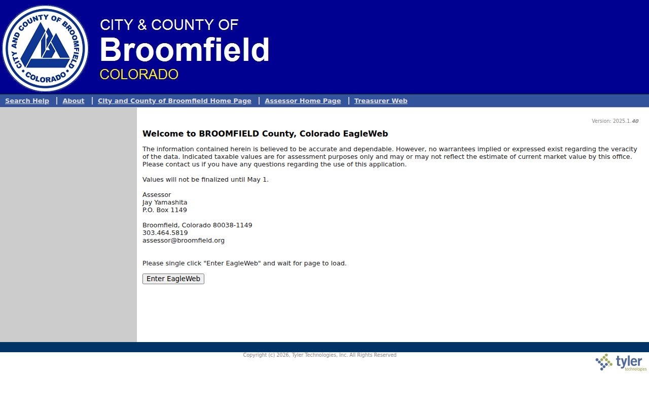
The captured search interface shows why street suffix, ZIP, owner, and legal fields should be preserved rather than reduced to one text string.
Broomfield Street Accounts by Parcel
A returned account is not always a separate home. One DesCombes Drive produced account R1109319 for a municipal building and a second solar account at the same situs. The primary card carried a parcel, several situs lines, a subdivision and lot, a separate owner mailing address, tax area, exemption lines, acreage, improvement square footage, and transfer history.
Open every result. Note account type, parcel, description, all address lines, owner address, property use, and any duplicate or ancillary account. A shared situs can describe a civic complex, a common area, an accessory account, or several units. The account card is a high-value clue, but it does not state that the named owner lives at the parcel.
The account detail view can include map, photo, and sketch links, along with current values and tax history. A value or exemption may explain why a result looks unusual without explaining who uses the address. Preserve the card's exact wording for a later recorder or GIS search.
Broomfield assessor account detail shows the fields that carry forward into the rest of a street directory search.
The account view makes the mailing-versus-situs distinction visible before a researcher follows a person or parcel.
Broomfield GIS Street Parcels
Search the complete address in Broomfield's parcel viewer and accept the suggested address. Click the parcel, read the selected parcel information, and use the link down to the assessor. Layers can show the city boundary, address-notification parcels, zoning, planned-unit-development areas, floodplain, comprehensive and neighborhood plans, planning areas, urban renewal, council wards, precincts, roads, buildings, and response districts.
The map is ideal for walking a street without treating a line on the screen as title evidence. Pan along a frontage and click each parcel. For a selected block, the Planning Research Map can return a buffer, nearby address list, parcel list, and CSV. Use a point selection for one parcel, a green buffer for a parcel-boundary radius, or a shape for an irregular group.
The Broomfield parcel search launch page is the local handoff into the map and assessor relationship.
The parcel-search image belongs before the ownership check because it frames GIS as a discovery step, not a final title result.
Note: Broomfield GIS parcel lines are approximate and are not a survey; open the assessor and recorder records for ownership evidence.
Broomfield Address Records: Situs and Mailing
Situs means the place where the parcel or building is located. Mailing address means where the assessor sends tax material. Legal description means the subdivision, lot, block, tract, unit, or survey description used in land records. Postal city and ZIP are routing labels. A street directory search is safer when all four keys are copied without treating them as synonyms.
The One DesCombes sample is a useful warning. The card showed situs lines at 1 DesCombes Drive, 250 Spader Way, and 280 Spader Way, while the owner mailing address was One DesCombes Drive. A multi-line situs may reflect a large public parcel or more than one entrance. The mailing field may be an office, agent, trustee, former address, or the parcel itself.
Use the legal description when an older directory or deed uses a different street label. The current city and county boundary also hides older Adams, Boulder, Jefferson, and Weld custody. The Broomfield ZIP code directory can help compare postal and municipal geography, but it does not replace an address-level parcel check.
- Parcel
- A tax and map unit tied to an account, legal description, and mapped land area.
- Situs address
- The physical location assigned to the parcel or building, which can have more than one line.
- Plat
- A recorded map that identifies lots, blocks, rights-of-way, and common tracts.
- Criss-cross directory
- An address-first directory that uses a street and number to locate an occupant or subscriber.
Broomfield Deeds and Legal Descriptions
The recorder index is where a street result becomes an instrument trail. Search by current owner, grantor, grantee, date, document number, document type, subdivision, lot, block, tract, unit, quarter section, or legal description. Deed, warranty deed, special warranty deed, quit claim, deed of trust, release, lien, plat, easement, covenant, and correction types can be separated when a broad search is noisy.
Grantor means the party transferring an interest. Grantee means the party receiving it. A plat sets out lots, blocks, rights-of-way, and common tracts. Related Searches or Find Related can locate documents that share the legal description or connect to the current instrument. Search the current grantee as a later grantor to trace backward one parcel at a time.
Broomfield EagleWeb indexes documents recorded from November 15, 2001. Before that date, the street's record may sit with Adams, Boulder, Jefferson, or Weld County. The Recording Division lists a free index, paid copies, certification, mail, drop-off, in-person, and e-recording channels. It will not conduct the search for the requester, so a street-wide question must arrive with a parcel or legal-description lead.
Broomfield recorded-document search supplies the current index entry point.
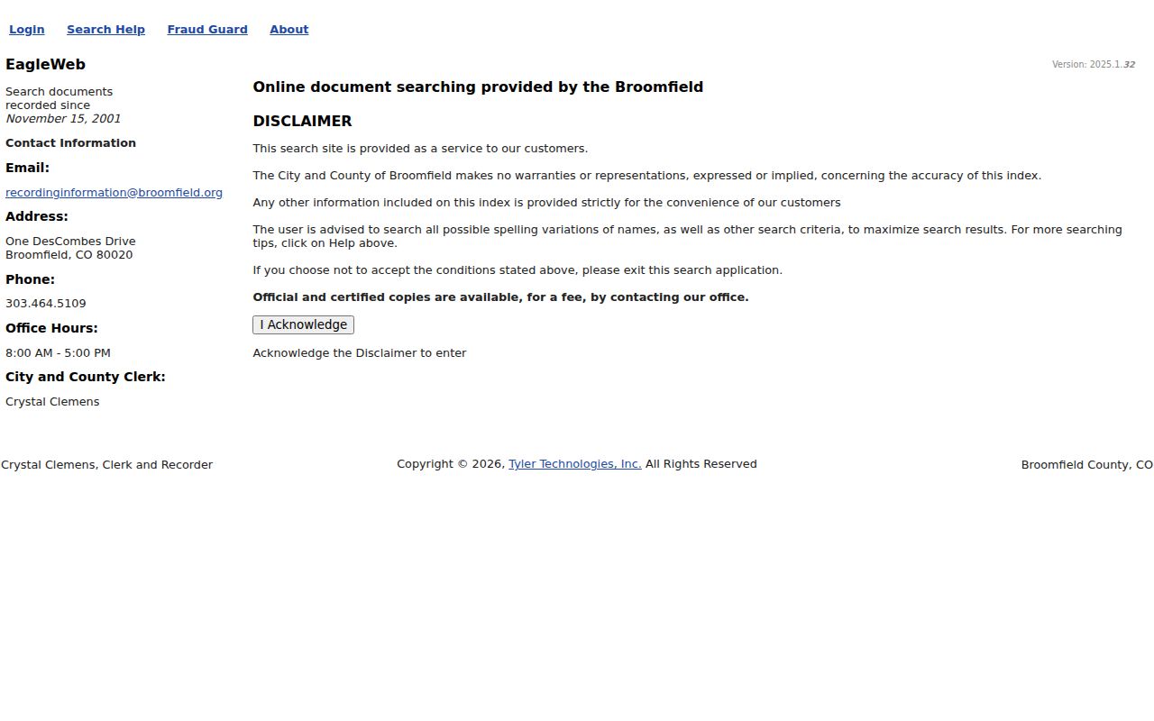
The recorder search image shows the date, party, and document-type controls that make a parcel-by-parcel street chain reproducible.
Broomfield Street Permit and Code Records
Building permits add address-linked project evidence. The official guide says to choose Public Access, search by address or permit number, open the permit, and inspect the Attachments tab for items such as a plot plan. The unattended capture did not expose the full result field list, so a page should not promise a specific status label or historical start date.
Code activity is a second address signal. A courtesy notice is informational. A Notice of Violation is the legal notice to an owner or occupant. Published timing examples include seven days for weeds or grass, 15 days for junk or an inoperable vehicle, and 90 days for a hazardous tree. An extension may be approved before the due date. Abatement can create a bill and lien, and an unresolved matter can reach court.
The Treasurer supplies tax-account, Certificate of Taxes Due, delinquency, and tax-lien-sale routes. The Public Trustee supplies foreclosure and deed-of-trust release leads. These records describe land or agency action. They do not make a complete list of people along a street.
Use Broomfield public permit instructions for the address and permit-number route, then ask through CORA if a specific public case is not exposed online.
Broomfield Street Lookup Voter Limits
The Colorado voter form does not browse a street. It requires first name, last name, ZIP, full birthday, and CAPTCHA for one person. A recent move may require a prior ZIP. Confidential or protected voters and preregistrants may not appear. The public categories can include full name, residence and mailing address, year of birth, party affiliation, voting history, active or inactive status, and military or overseas flag.
Full birthday, Social Security number, driver's-license number, signature, and email are not public output fields. Broomfield's election files and the statewide data-request form provide a broader, dated route, but public and confidential fields remain governed by Colorado law. A ward or precinct layer on GIS is political context, not a household list.
Use a voter result as a second, dated confirmation of a named person. Do not infer that every person at an address is registered there, or that inactive status proves a person moved. The elections office can explain the request route, not disclose protected information by phone.
Older Broomfield Streets in Criss-Cross Volumes
A criss-cross directory reverses the search key. Instead of starting with a surname, the researcher starts with a street and number, then reads the occupant or subscriber entry. Denver Public Library lists a broad 1924 to 2018 criss-cross run and a digital subset from 1924 to 1937. The selected volume must be checked for Broomfield locality, because the regional shelf is wider than the present city and county.
The Spring 1960 Broomfield Telephone Directory covers Broomfield, Broomfield Heights, and East Lake. Library of Congress runs include selected Broomfield books from 1944 through 1974. A telephone subscriber is not necessarily every person in a household, and a missing listing can reflect an unlisted number or a gap in the run.
The historical shelf answers a different question from the modern assessor. It can place a household or subscriber at a street address in a past year, then hand the name to a newspaper, census, cemetery, or deed search. The Broomfield city directory collections page carries the collection details and sample-entry method.
Broomfield recorder search help explains the legal-description and related-search handoff. Denver Public Library's building-history route explains how criss-cross directories fit with maps, newspapers, census, and deeds.
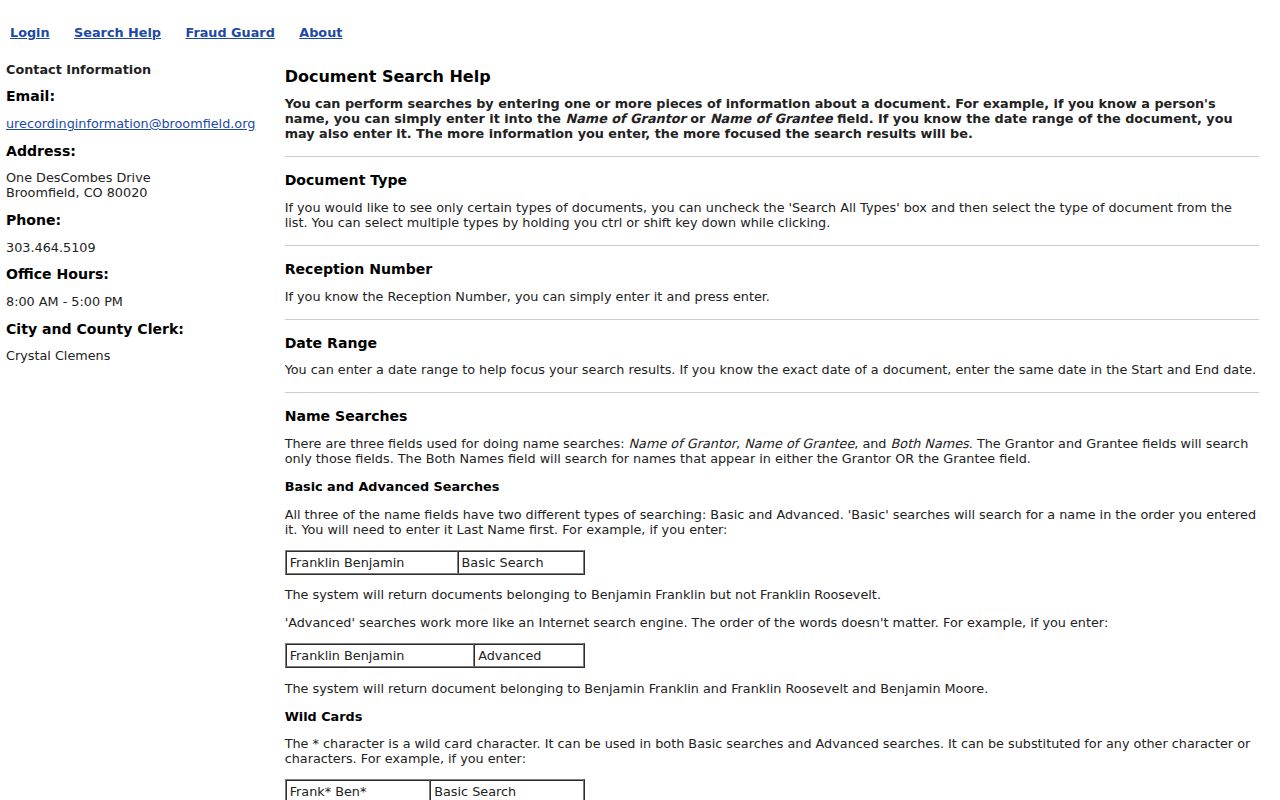
The recorder help image is useful here because an older street result often needs a legal-description search before the reverse directory can be matched.
Broomfield Street Directory Address Gaps
Broomfield's official ZIP map shows seven postal areas, including 80026, while the current assessor ZIP control exposes six other values and not 80026. A postal city can fall outside a municipal boundary, and a Broomfield label can describe a route that does not match a parcel line. Historical directories can use a locality or former county instead of a modern ZIP.
Test a questionable address through USPS, then compare the returned city and ZIP with the assessor situs, mailing address, GIS boundary, parcel, and legal description. A current ZIP is a helpful search filter. It is not proof that a person resides in the city, that a parcel is inside the city line, or that an older record belongs to the present county.
For an old address, preserve street suffixes, direction, unit, subdivision, lot, block, and former county. A verified citywide renumbering or renaming table was not located. Legal description and parcel are the safe bridge when a street string does not connect.
What Broomfield Street Records Omit
A Broomfield street directory can show public parcel ownership, recorded parties, maps, permits, some code activity, and one-person registration or historical subscriber clues. It does not show every household member, guest, unlisted subscriber, or person who is present at an address. Utility customer names and motor-vehicle address records were not located as public street sources, and the Driver's Privacy Protection Act restricts motor-vehicle data.
Address Confidentiality Program participants, protected voters, sealed or juvenile court parties, restricted vital records, and sensitive police information may be absent or redacted. A missing result is not proof that nobody is at the address. It is a signal to check the record type, date, jurisdiction, and access rule.
Lawful use. Address records are appropriate for personal, lawful research, family history, civic questions, and reconnecting. Repeated lookups used to stalk, harass, intimidate, or harm a person can create a safety and legal problem.
When the goal shifts from a whole street to one individual, use the Broomfield resident lookup workflow and keep the second-source check intact.