
Broomfield's Seven ZIP Code Areas
The official Broomfield ZIP map dated May 10, 2022 labels 80020, 80021, 80023, 80026, 80027, 80234, and 80516. It is the local visual starting point for the ZIP code directory. The map shows postal areas in relation to the city, but exact post-office station assignments were not located for every ZIP. Verify an individual address through USPS.
| ZIP | Areas shown in Broomfield context | Postal route | Notes for a directory search |
|---|---|---|---|
| 80020 | Central and historic core | Broomfield-area routing | Compare the address with the city boundary. |
| 80021 | West and southwest portions | Westminster/Broomfield-area routing may appear | Postal and city lines can diverge. |
| 80023 | North and east growth areas | Broomfield-area routing | Use the map with parcel context. |
| 80026 | Northwest edge | Verify per address | On the city map, absent from current assessor ZIP control. |
| 80027 | Southwest and southern areas | Broomfield-area routing | Confirm the exact situs. |
| 80234 | Southeast and Adams-side postal geography | Denver-area routing may appear | Do not treat ZIP as a city boundary. |
| 80516 | Northeast and east edge | Weld/Longmont-area routing may appear | Verify returned city, state, and ZIP. |
The map is the heart of the ZIP code directory, but the post-office column stays cautious because a complete station assignment list was not found in the official research.
80026 and the Assessor Filter
Broomfield's most useful ZIP quirk is a mismatch between the official map and the live property search. The map includes 80026. The current Broomfield assessor ZIP multi-select exposes 80020, 80021, 80023, 80027, 80234, and 80516, but not 80026. A ZIP code directory that copies only the assessor options would omit a map-served area.
The difference does not prove that every 80026 address is outside the assessor's data. It shows that a portal control and a postal map are different data views. Test the full address rather than relying on the ZIP list. Compare the assessor situs, mailing address, legal description, parcel, GIS boundary, and USPS response.
This is also an interest point for record research: a missing dropdown value can be a search design issue, a data-maintenance choice, or a boundary difference. Mark the mismatch in notes and record the lookup date.
Broomfield EagleWeb Assessor is the source for the current ZIP control.
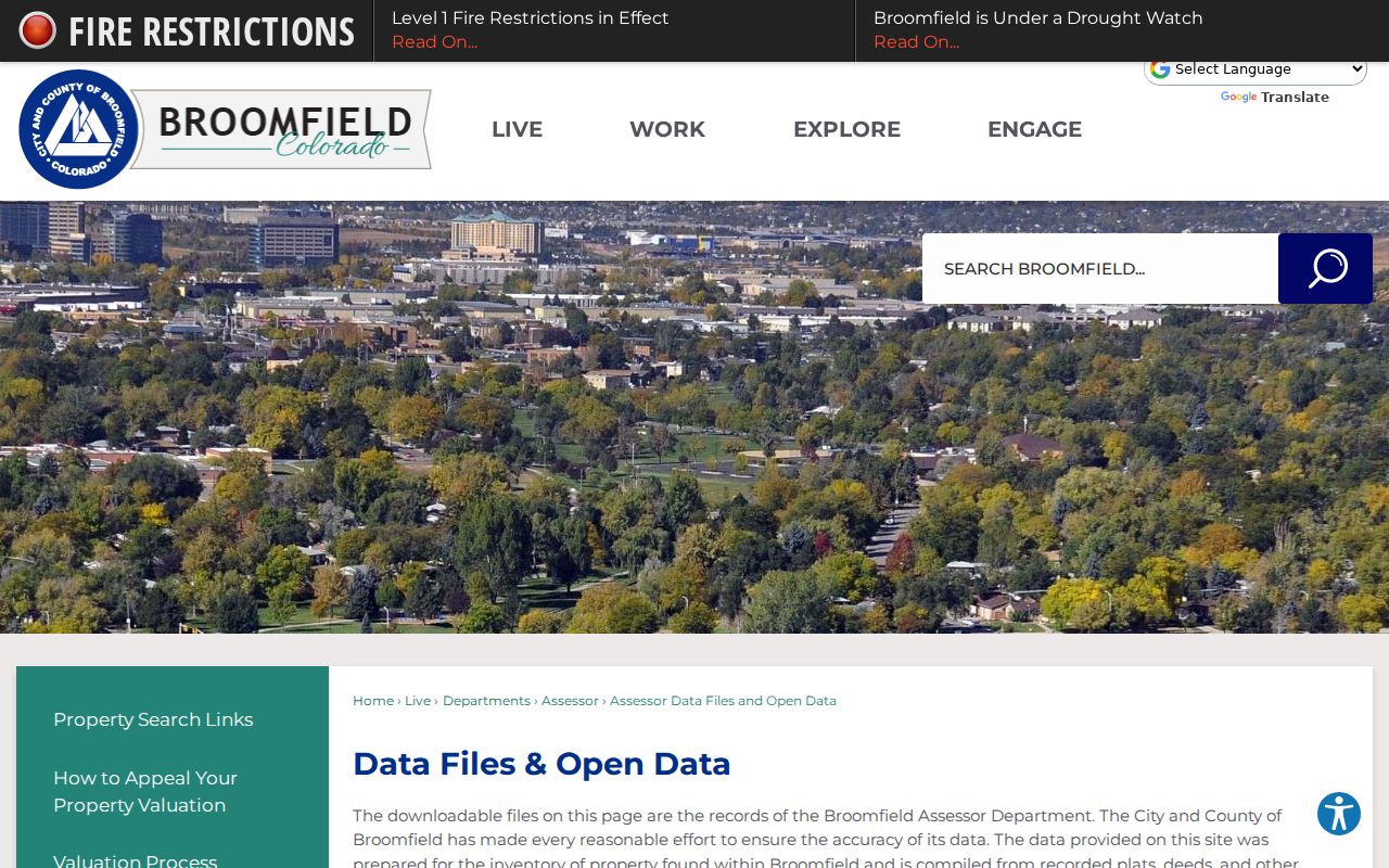
The assessor-data image shows why a ZIP filter returns accounts and parcels, not a complete list of people.
Verify Broomfield ZIP Codes with USPS
USPS is the right check for the postal answer to one complete address. Enter street address, city, and state in the official address-to-ZIP tool. Capture the returned city, state, ZIP, and any extended ZIP detail. Compare that response with the assessor's situs and mailing fields, the city ZIP map, and the GIS parcel boundary.
Do not use a postal city label as proof that a parcel is within Broomfield. Postal routes can serve addresses outside a municipal boundary, and a Broomfield mailing label can sit beside a different city or county line. The result also changes over time, so save the date of the test.
USPS address-to-ZIP lookup supplies the official postal verification route.
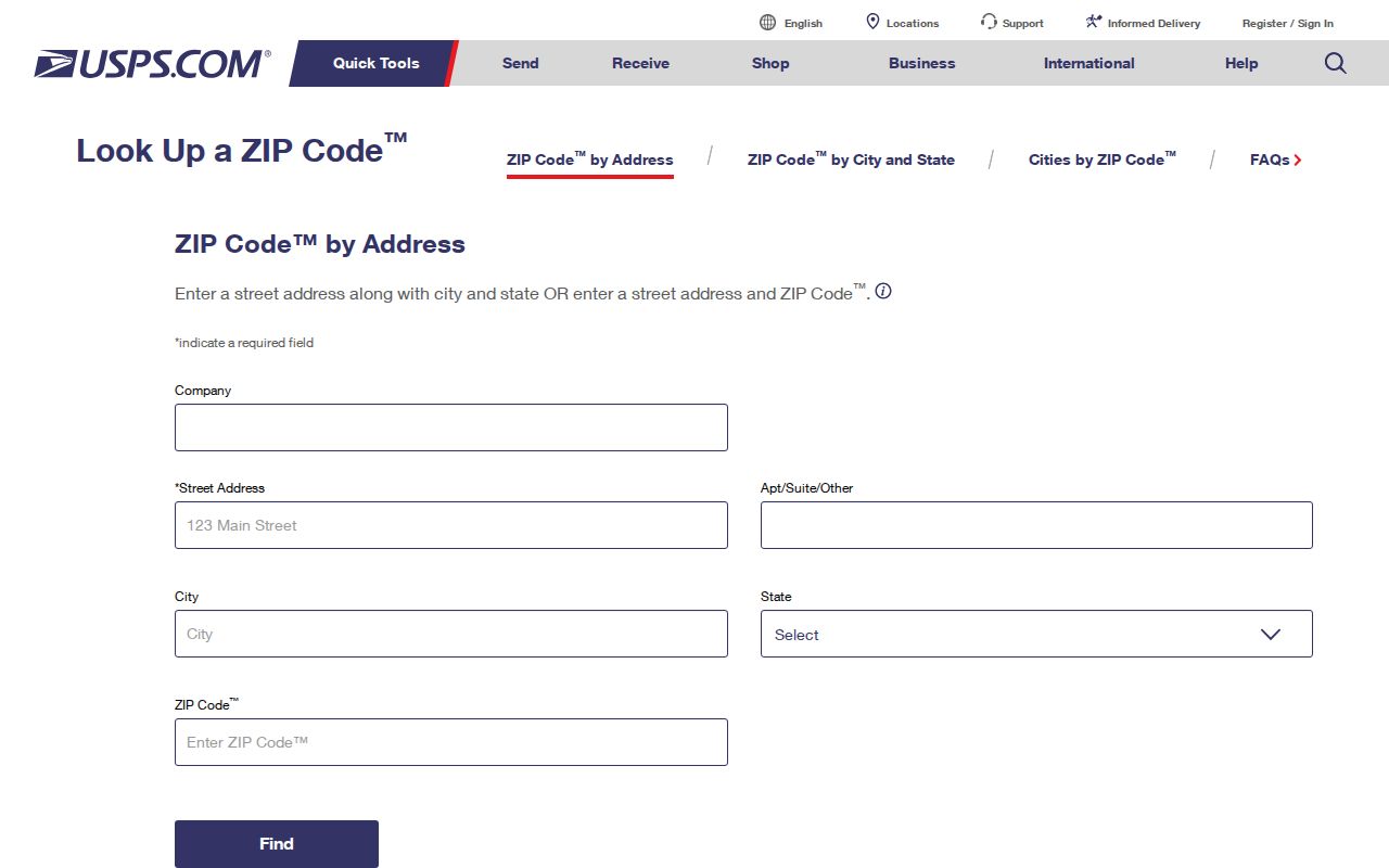
The USPS image belongs beside the verification step because the postal response is separate from the property and political layers.
Situs, Mailing, Postal, and Legal Keys
Four address terms often get mixed together. Situs is the physical parcel or building location. Mailing address is where tax material is sent. Postal city and ZIP are routing fields. Legal description uses subdivision, filing, lot, block, tract, unit, or survey language. A ZIP code directory search becomes reliable when the four fields are kept in separate columns.
The One DesCombes assessor sample shows why. One account listed 1 DesCombes Drive, 250 Spader Way, and 280 Spader Way as situs lines, while its owner mailing address was One DesCombes Drive. A single large parcel can have several entrances or address lines. A ZIP and postal city cannot tell which line belongs to the legal parcel.
- ZIP code
- A postal routing area that can cross a city or county boundary.
- ZIP+4
- An extended postal code for a narrower delivery segment; it was not used as a city boundary in the research.
- PO-box ZIP
- A postal routing clue that may identify a box service rather than a physical parcel.
- Parcel
- The assessor and GIS land unit tied to an account and legal description.
Assessor ZIP Search for Broomfield Accounts
The assessor can use ZIP as one filter among many. Search results can be sorted, reported, and opened account by account. The output may contain owner, mailing address, situs, parcel, legal, property use, classification, value, tax area, transfers, and tax history. A ZIP-wide result is therefore an account list, not a household list or voter directory.
| Field or control | Type | Current research note |
|---|---|---|
| ZIP | Multi-select | 80020, 80021, 80023, 80027, 80234, 80516 observed; 80026 absent. |
| Situs | House number, street, designation, direction, unit | Use with ZIP to reduce an address set. |
| Owner | Last/first name; normal or advanced | Search a named owner, then inspect parcel and legal fields. |
| Legal | Subdivision, lot, block, tract, unit | Useful when an old address string changes. |
| Property | Use, classification, tax area, value, area | Separates public, commercial, residential, and special-purpose accounts. |
Use the assessor ZIP search as the middle step in a ZIP code directory workflow: postal address first, parcel next, then a street or legal-description search. The Broomfield assessor data page adds current file and open-data context.
Broomfield GIS and Open Data Boundaries
Broomfield GIS can show address points, buildings, roads, utilities, tax parcels, floodplains, response districts, wards, precincts, zoning, land use, open space, and boundaries. The public parcel viewer can search a complete address, select a parcel, and hand off to the assessor. Open-data files may provide CSV, shapefile, GeoJSON, or KML, with metadata and update dates.
A dedicated public ZIP filter was not verified in the GIS map. Use the assessor for ZIP filtering and GIS for map context. A parcel line is approximate and is not a survey. A ZIP line is postal geography. A ward or precinct is election geography. A neighborhood label is planning or community context. The layers overlap, but none is a resident directory by itself.
Broomfield GIS and boundary resources identify viewer, map, and open-data routes.
The GIS image shows the map layer that must be compared with postal and assessor results rather than substituted for them.
Search Within a Broomfield ZIP Code
A ZIP code directory search can narrow a person or parcel only when the record type accepts ZIP. The voter form requires ZIP with a name and full birthday. The assessor accepts ZIP as a multi-select account filter. GIS provides map context but no verified public ZIP-wide browse. USPS confirms the postal response for one address.
- Write the full street address, city, state, and ZIP as supplied, then test it through USPS.
- Compare the postal response with the official Broomfield ZIP map and note whether the address is near a city or county edge.
- Search the assessor by ZIP, then narrow with street, house number, owner, parcel, or legal description.
- Open the GIS parcel and inspect boundary, neighborhood, ward, precinct, zoning, and adjacent-parcel context.
- For one named person, use voter verification or another lawful custodian, then record the result date and limits.
Once a ZIP narrows the area, the Broomfield street directory handles the address-by-address chain. Do not turn a ZIP result into a list of every person in the area.
Map Downloads for Broomfield ZIP Research
The city's maps page provides a download route for the ZIP map and related geography. The local ZIP PDF is dated May 10, 2022 and is the source for all seven labels. Maps compiled from plats, deeds, and public records are useful for orientation, but USPS controls postal routing and the assessor controls account detail.
Save the map date with any directory result. A current assessor search can expose a different ZIP control than the older map. A newer city map, USPS response, GIS layer, or open-data release can change the interpretation without changing a historical record that was correctly labeled at the time.
Broomfield maps for download is the official map collection route.
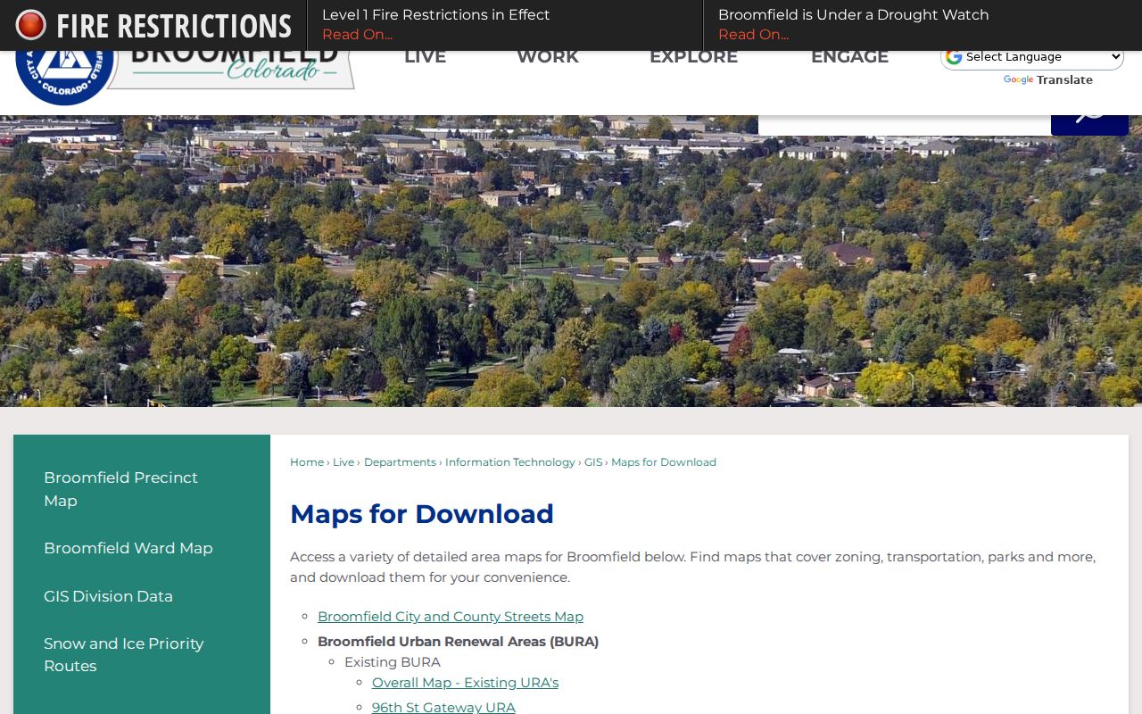
The maps image keeps the ZIP code directory grounded in the city's own dated map source.
ZIP Codes and Older Broomfield Records
Modern ZIP codes are not a stable key for historical directory research. The Spring 1960 telephone book, Library of Congress runs, Boulder-area directories, and census schedules use locality, county, street, or telephone exchange information. A pre-2001 deed may belong to Adams, Boulder, Jefferson, or Weld. Search the historic locality and street before searching a modern ZIP.
For an older address, preserve the legal description, subdivision, lot, block, and original county. Pair a directory year with a census year, newspaper, deed, cemetery, or museum item. The ZIP can help locate a modern parcel, but it cannot rewrite the geography of the record's own time.
ZIP Code Directory Limits
The Broomfield ZIP code directory is a geography tool. It can help narrow a postal address, assessor account, map layer, or one-person voter check. It cannot show every household, prove occupancy, identify a neighborhood membership list, or replace a legal description. A postal city can reach outside the consolidated city and county, while a Broomfield parcel can carry a different postal label.
Use ZIP lawfully. Compare postal, parcel, and public-record sources for family history, civic research, reconnecting, and personal record checking. Do not use a ZIP or address trail to stalk, harass, intimidate, or harm anyone.
Record the complete USPS response, assessor account, parcel, map date, and source URL. If a value is missing, ask the custodian rather than treating a blank ZIP control as proof that no record exists.